Storm threatens Midwest with heavy snow, travel disruptions
Testing on staging11
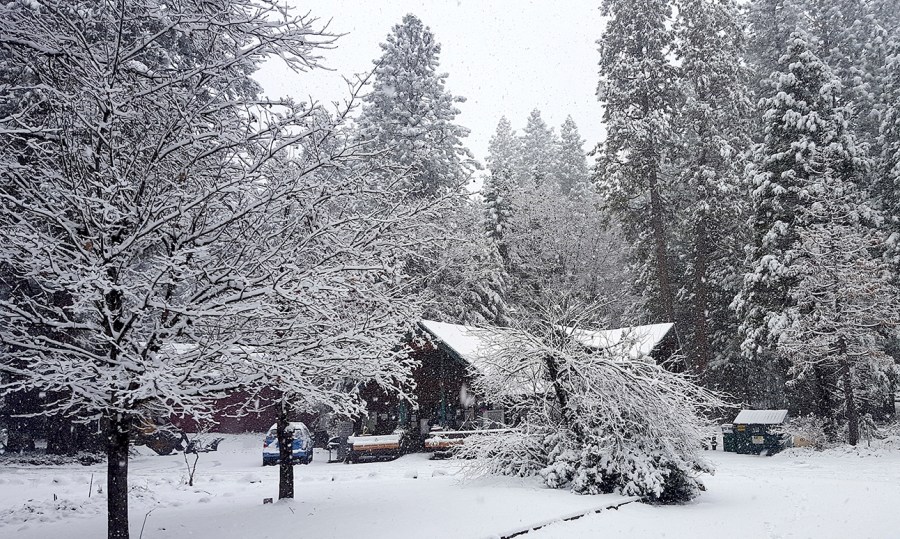
OMAHA, Neb. (AP) — A major winter storm threatens to blanket parts of the middle of the country with more than a foot of snow Monday, promising to disrupt travel and even forcing the closure of some coronavirus testing sites.
The National Weather Service forecast that the snow could stretch from central Kansas northeast to Chicago and southern Michigan. Some of the heaviest snow was expected in southeast Nebraska and western Iowa, which was forecast to receive at least 4 inches of snow.
Several coronavirus testing sites in Nebraska and Iowa planned to close early Monday because of the snow. More than 10 inches of snow had already fallen in parts of eastern Nebraska by Monday evening.
National Weather Service meteorologist Taylor Nicolaisen said 10 to 15 inches of snow is likely between Lincoln, Nebraska, and Des Moines, Iowa, and that it has been at least 15 years since that area received more than a foot of snow in a single storm.
“This is a historic snow,” said Nicolaisen, who is based near Omaha, Nebraska.

Many schools and businesses closed Monday as the storm moved across the region. In western Iowa, Missouri Valley Superintendent Brent Hoesing reworked the lyrics of the 1970s hit “I Will Survive” to tell students in his district to “So Stay Inside.”
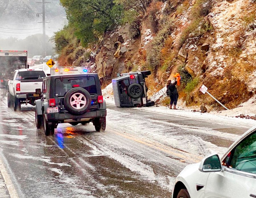
Officials urged drivers to stay off the roads during the storm, especially during the heaviest snowfall in the afternoon and evening. Nebraska State Patrol troopers had helped at least 60 drivers who got stuck or slid off the road by midday Monday.
“Do not travel unless it’s absolutely necessary,” said Nebraska State Patrol Col. John Bolduc.
Roughly 250 semi trucks pulled off the road to wait out the storm at the Petro truck stop alongside Interstate 80 in York, Nebraska. Manager Rachael Adamson said she could see knee-high drifts and that the maintenance man had to go out every 30 minutes to shovel the sidewalks to keep up with the snow.
“We haven’t had this much snow in quite a few years,” Adamson said.
Iowa State Patrol Sgt. Alex Dinkla said road conditions deteriorated quickly and numerous vehicles slid off roads in central Iowa.
“The big thing that people are seeing is that this snow system is packing a big punch,” Dinkla said to the Des Moines Register. “As we have seen this system move into Iowa, the road conditions go from zero snow on the road to an immediate totally covered roadway in just a matter of minutes.”
A section of eastbound Interstate 80 was closed in central Nebraska Monday afternoon following a crash. And Missouri officials urged drivers not to travel on Interstates 29 and 35 in northwest Missouri into Iowa. The agency said most roads in the area were covered with snow and heavy snow continued falling Monday afternoon.
”If northern Missouri or Iowa are part of your travel plan, please re-route or find a warm, safe place to wait out the storm,” the Missouri Transportation Department said.

Elsewhere in the U.S., a storm moving across the Southwest on Monday and Tuesday was forecast to bring gusty winds and snowfall, the weather service said. Over the weekend, more than a foot of snow fell in Southern California’s mountains ahead of what was forecast to be a stronger storm.
Authorities urged drivers on Sunday to bring their tire chains to the San Gabriel and San Bernardino mountains east of Los Angeles after 10 inches of snow fell in Mount Baldy and up to 18 inches were recorded at the Mountain High ski resort in Wrightwood.
It was a dramatic shift from a week ago when parts of the Southern California region saw temperatures soar to the 90s. On Sunday, highs were in the 50s.
The California Highway Patrol closed Interstate 5 to traffic Monday in the Tejon Pass, which rises to an elevation of more than 4,100 feet (1,250 meters) through mountains between Los Angeles and the San Joaquin Valley.
Across southern Nevada, light rain and snow at higher elevations was reported Monday.
Forecasters at the Sacramento-area National Weather Service office predict an abundance of snow in the Sierra Nevada between late Tuesday and Friday that may make travel through the mountains difficult.
Flash flood watches were in effect for areas north and south of San Francisco Bay, where the National Weather Service cited “high confidence that thresholds for debris flows will be met” in many of last year’s wildfire burn scars.


