(NewsNation) — Thunderstorms are expected along most of the eastern states this Labor Day. Storms accompanied by flooding are expected to occur over much of the Gulf Coast, Southeast, Ohio Valley, Mid-Atlantic and into southern New England today. Persistent downpours across the Gulf Coast and Southeast could lead to flooding concerns.
The National Weather Service has issued flood warnings and advisories for most of the east. Also, a flash flood warning has been activated over the Dayton and Wilmington areas in Ohio.
Humidity will also build across many areas impacted by these thunderstorms.
Areas in California, Nevada, Arizona, Utah and far southern Oregon and Idaho, may all have temperatures surge into the triple digits. Some spots in the Southwest could even have temperatures rise into the 110s. Some all-time daily records may be challenged across these areas.
In Los Angeles, beachgoers on Monday sought relief by jumping in the water. Some areas were so packed that Los Angeles County officials put out alerts that a few of the more popular beaches were at capacity.
The heat wave has California in a sixth day of a Flex Alert, meaning about 40 million residents are being urged to conserve electricity from 4-10 p.m. Fire crews are also working to protect power lines.
There are several features being tracked across the Atlantic basin at this time. Danielle will continue to meander in the northern Atlantic, well northeast of Bermuda and to the west of the Azores.
By early next week, Danielle will begin to move northeastward into a zone of cooler water and increased wind shear. This will bring a decrease in wind intensity during the early to middle portions of this week as the storm moves into a less favorable environment. Impacts to western Europe will have to be monitored as Danielle could bring some rain and wind as a tropical rainstorm late in the week or next weekend.
Tropical Storm Earl continues to move northwestward and across the southwestern Atlantic. Though the center of Earl will remain northeast of the Caribbean Islands, locally heavy showers will move across the far northern Leeward Islands into Puerto Rico through Sunday night.
Most locations will have a general 1-2 inches of rain. This can lead to localized flooding and perhaps isolated mudslides in mountainous terrain. Into early this week, Earl will begin to turn to the north and eventually northeast by midweek.
Shipping interests along the path of the storm will have to remain alert for rough seas.
The Associated Press contributed to this report.
LOS ANGELES, CALIFORNIA – SEPTEMBER 04: A member of the Skid Row community carries away water distributed by volunteers with Water Drop LA on September 4, 2022 in Los Angeles, California. Temperatures hovered around 100 degrees in downtown L.A. amid an intense heat wave in Southern California. Water Drop LA is a mutual aid organization which drops off 2,000 gallons of water each Sunday to members of the Skid Row community, many of who are suffering from water insecurity. Skid Row is home to thousands of people who either live on the streets or in shelters. The National Weather Service issued an Excessive Heat Warning for most of Southern California through September 7. Climate models almost unanimously predict that heat waves will become more intense and frequent as the planet continues to warm. (Photo by Mario Tama/Getty Images)
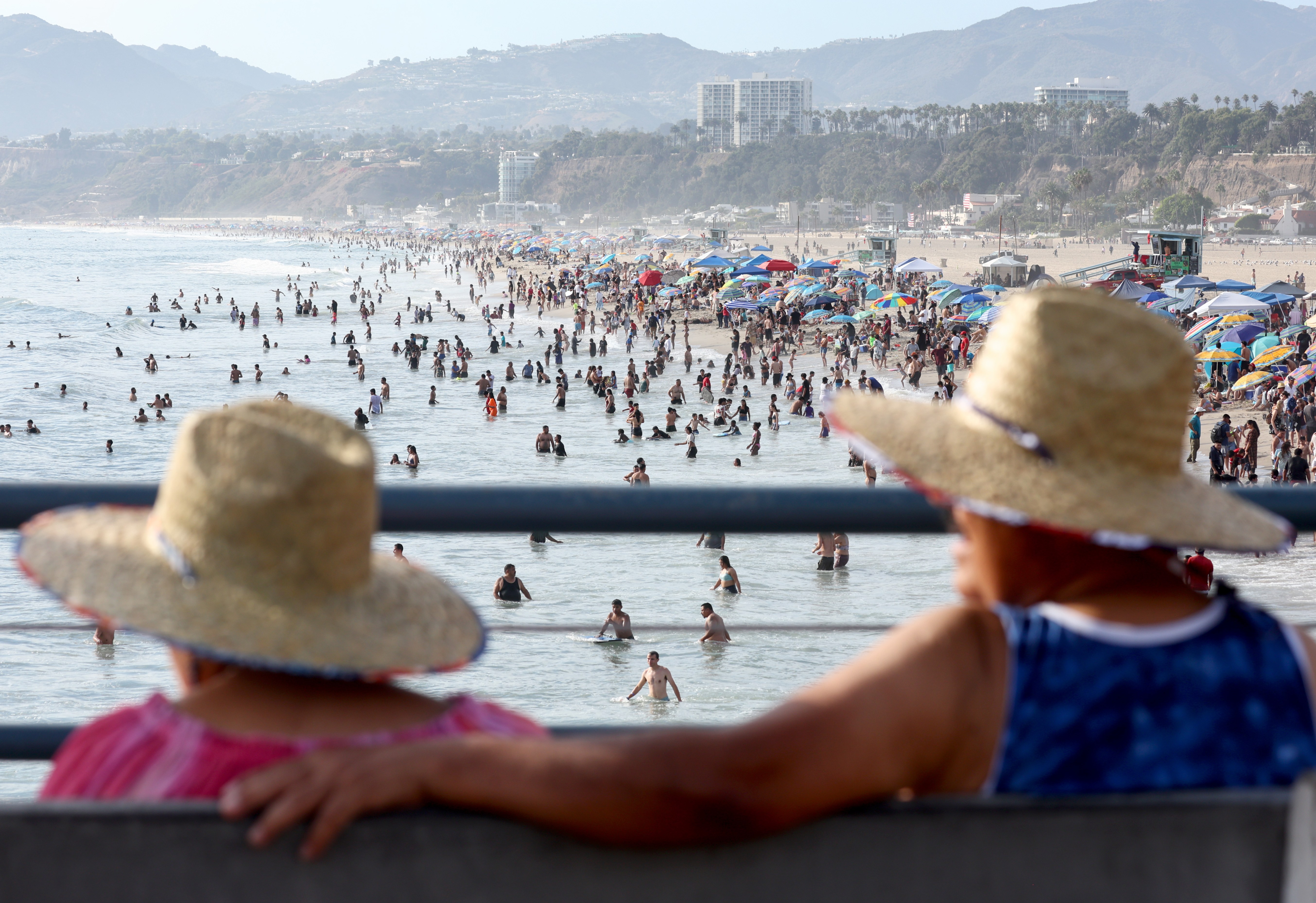
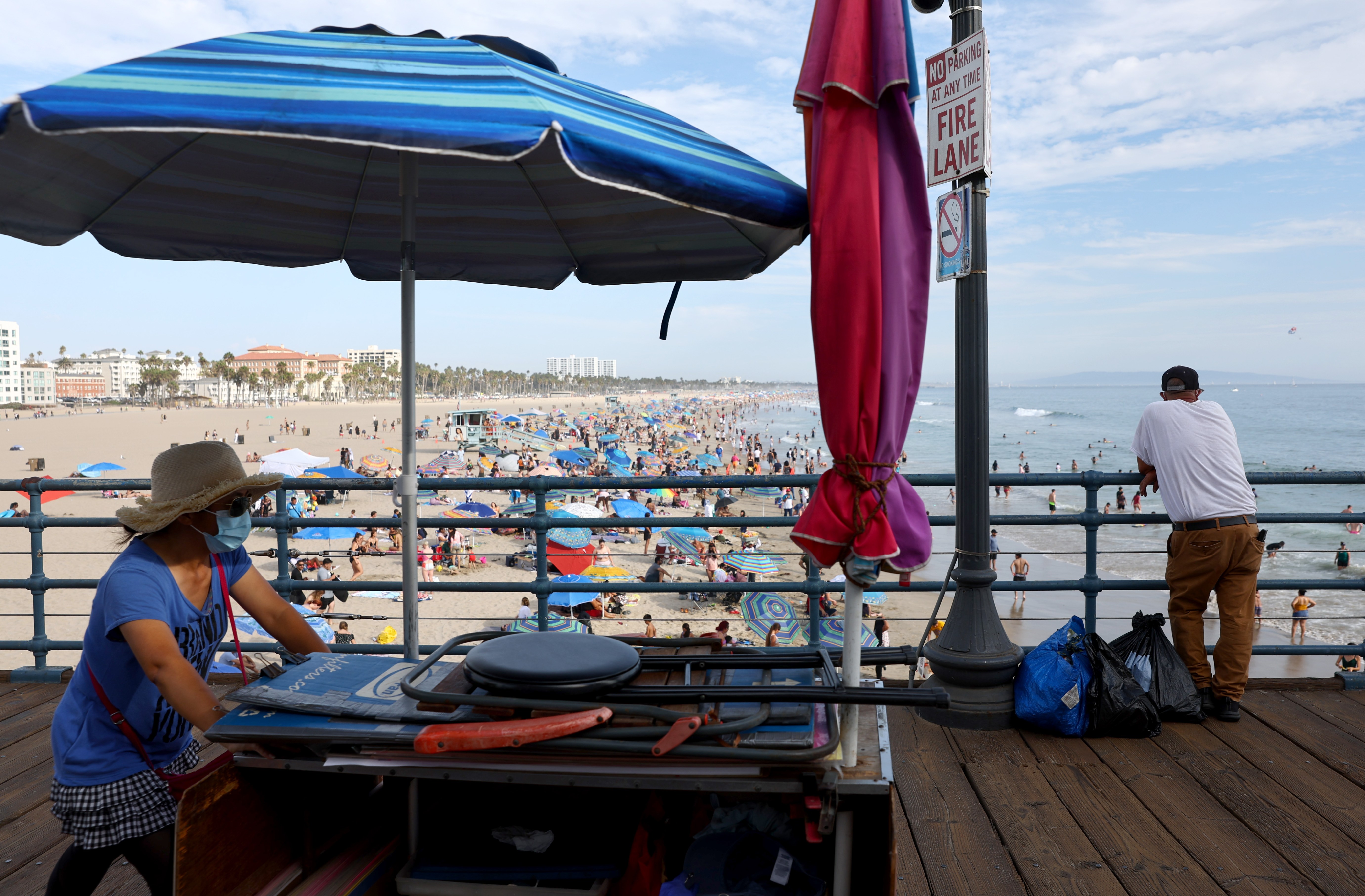
SANTA MONICA, CALIFORNIA – SEPTEMBER 04: People sit on Santa Monica pier amid an intense heat wave in Southern California on September 4, 2022 in Santa Monica, California. The National Weather Service issued an Excessive Heat Warning for most of Southern California through September 7. Climate models almost unanimously predict that heat waves will become more intense and frequent as the planet continues to warm. (Photo by Mario Tama/Getty Images)
SANTA MONICA, CALIFORNIA – SEPTEMBER 04: People gather on Santa Monica beach amid an intense heat wave in Southern California on September 4, 2022 in Santa Monica, California. The National Weather Service issued an Excessive Heat Warning for most of Southern California through September 7. Climate models almost unanimously predict that heat waves will become more intense and frequent as the planet continues to warm. (Photo by Mario Tama/Getty Images)
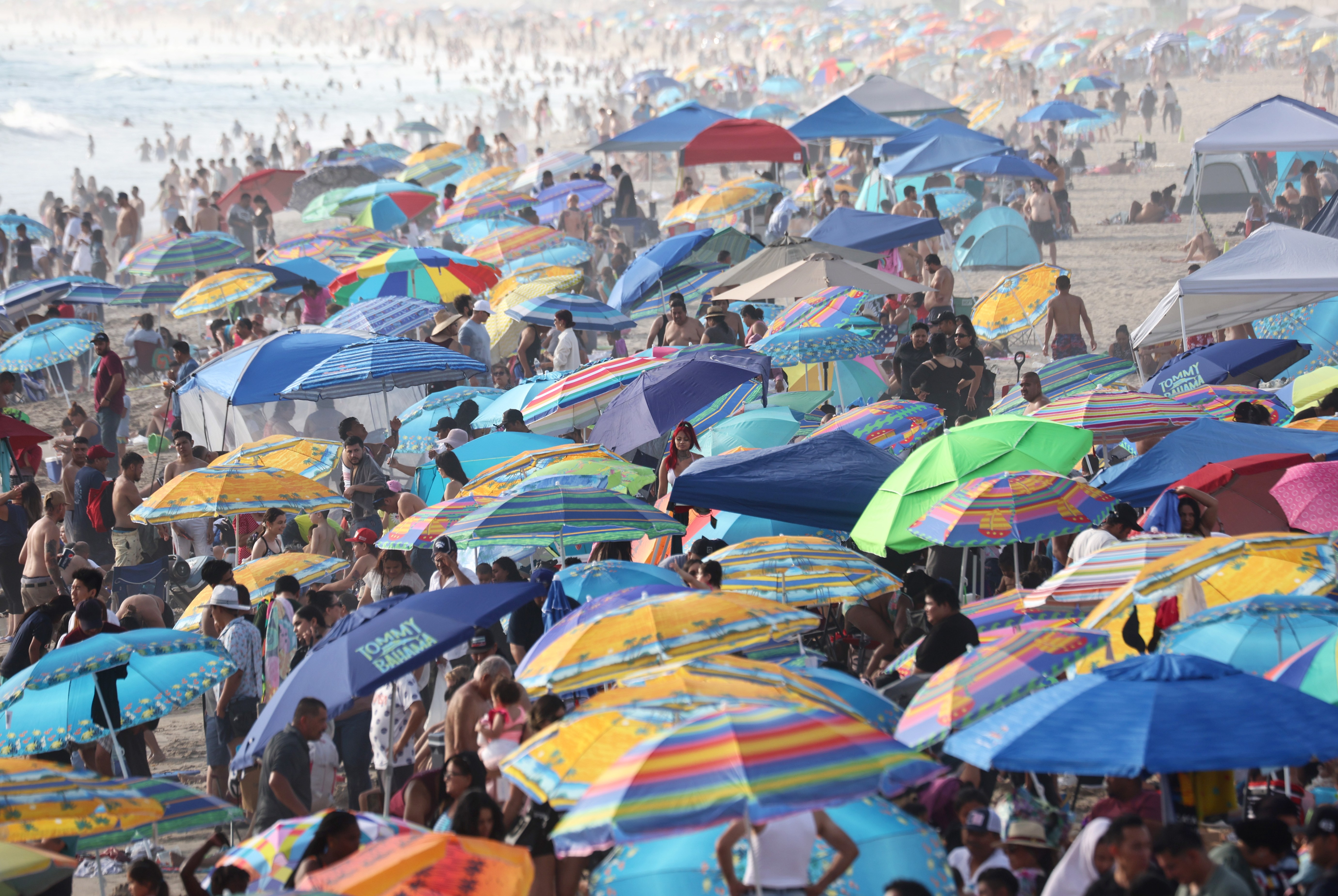
SANTA MONICA, CALIFORNIA – SEPTEMBER 04: People gather at Santa Monica beach amid an intense heat wave in Southern California on September 4, 2022 in Santa Monica, California. The National Weather Service issued an Excessive Heat Warning for most of Southern California through September 7. Climate models almost unanimously predict that heat waves will become more intense and frequent as the planet continues to warm. (Photo by Mario Tama/Getty Images)
SANTA MONICA, CALIFORNIA – SEPTEMBER 04: People gather on Santa Monica beach amid an intense heat wave in Southern California on September 4, 2022 in Santa Monica, California. The National Weather Service issued an Excessive Heat Warning for most of Southern California through September 7. Climate models almost unanimously predict that heat waves will become more intense and frequent as the planet continues to warm. (Photo by Mario Tama/Getty Images)
SANTA MONICA, CALIFORNIA – SEPTEMBER 04: James M. Black practices traveling rings at Santa Monica beach amid an intense heat wave in Southern California on September 4, 2022 in Santa Monica, California. The National Weather Service issued an Excessive Heat Warning for most of Southern California through September 7. Climate models almost unanimously predict that heat waves will become more intense and frequent as the planet continues to warm. (Photo by Mario Tama/Getty Images)
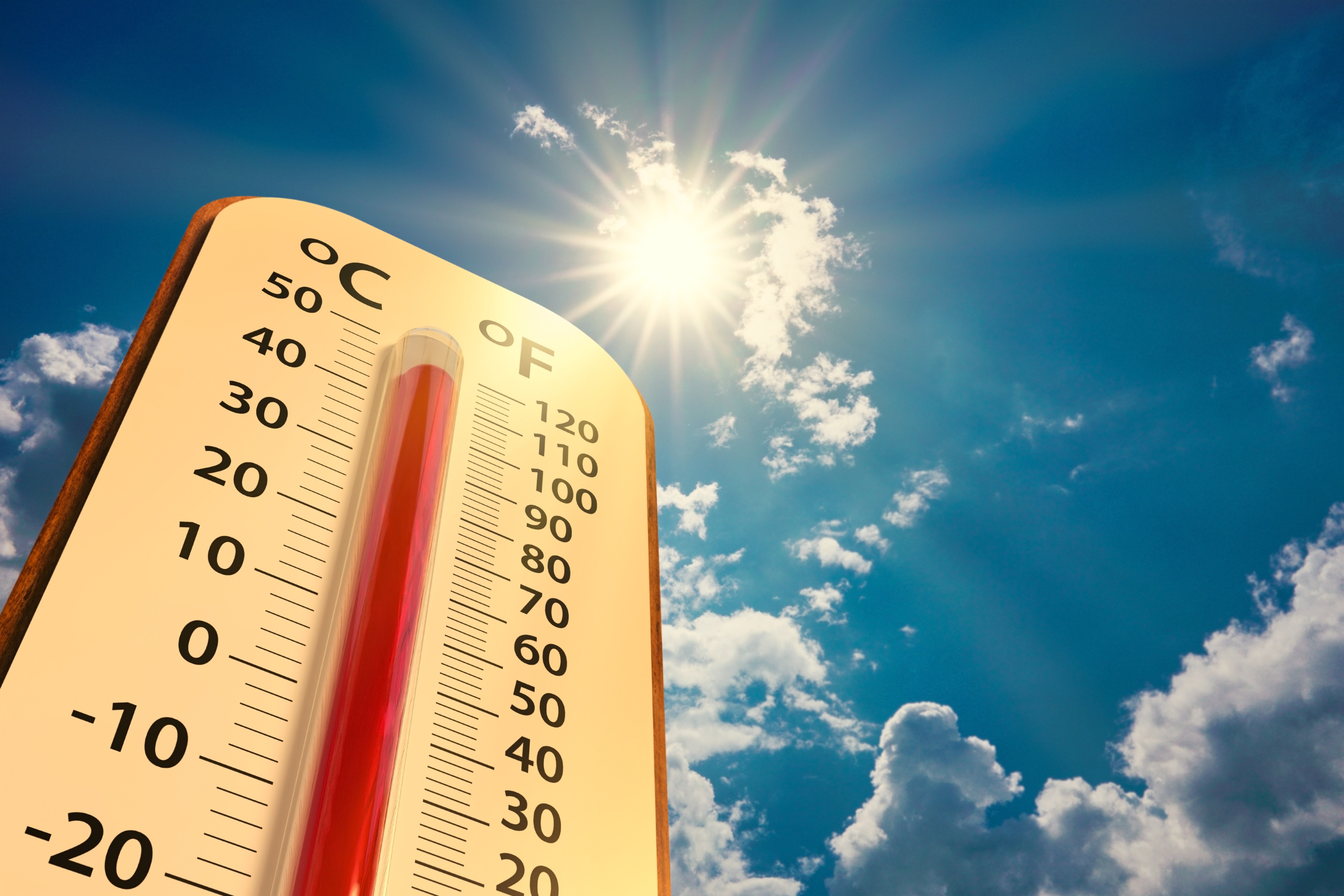
climate change, low angle view Thermometer on blue sky with sun shining in summer show increase temperature, concept global warming
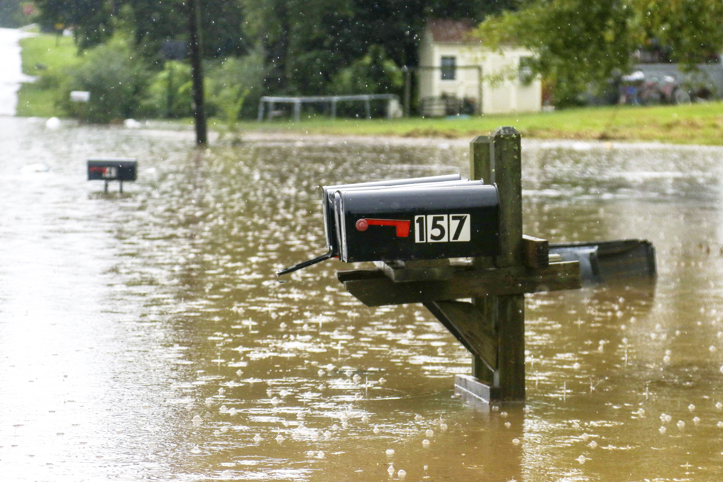
Bittings Avenue is seen partially underwater as many homes along the road were affected Sunday, Sept. 4, 2022, in Summerville, Ga. After heavy rainfall, a Flash Flood Warning was issued in Summerville Sunday. (Olivia Ross/Chattanooga Times Free Press via AP)
A sculpture at JR Dick Dowdy Park is covered in debris after flooding in Summerville, Ga., on Sept. 4, 2022. (Olivia Ross/Chattanooga Times Free Press via AP)
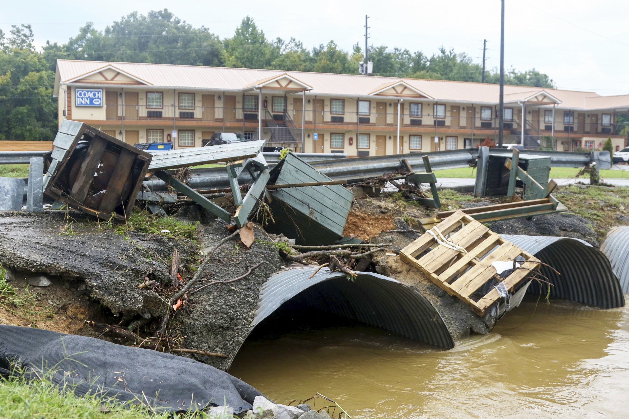
Trash cans from JR Dick Dowdy Park wash up outside of the Coach Inn Sunday, Sept. 4, 2022, in Summerville, Ga. After heavy rainfall, a Flash Flood Warning was issued in Summerville Sunday. (Olivia Ross/Chattanooga Times Free Press via AP)
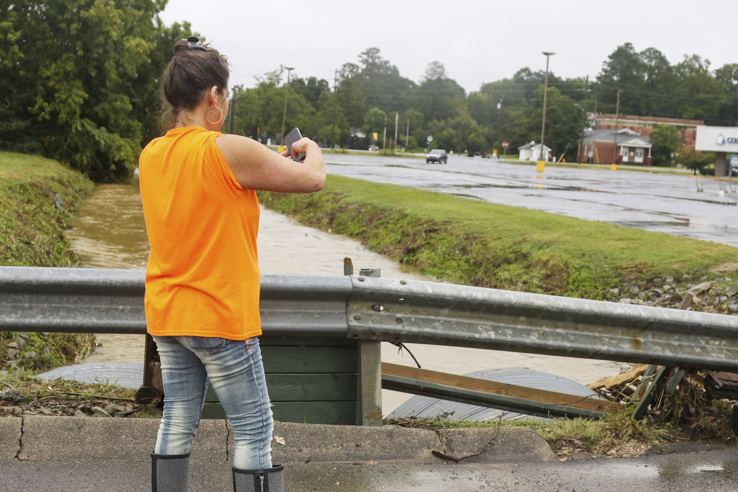
Erica Phillips takes a photo of the washed-up debris outside of Ingles after heavy rainfall, and a Flash Flood Warning was issued in Summerville, Ga., Sunday, Sept. 4, 2022. (Olivia Ross/Chattanooga Times Free Press via AP)
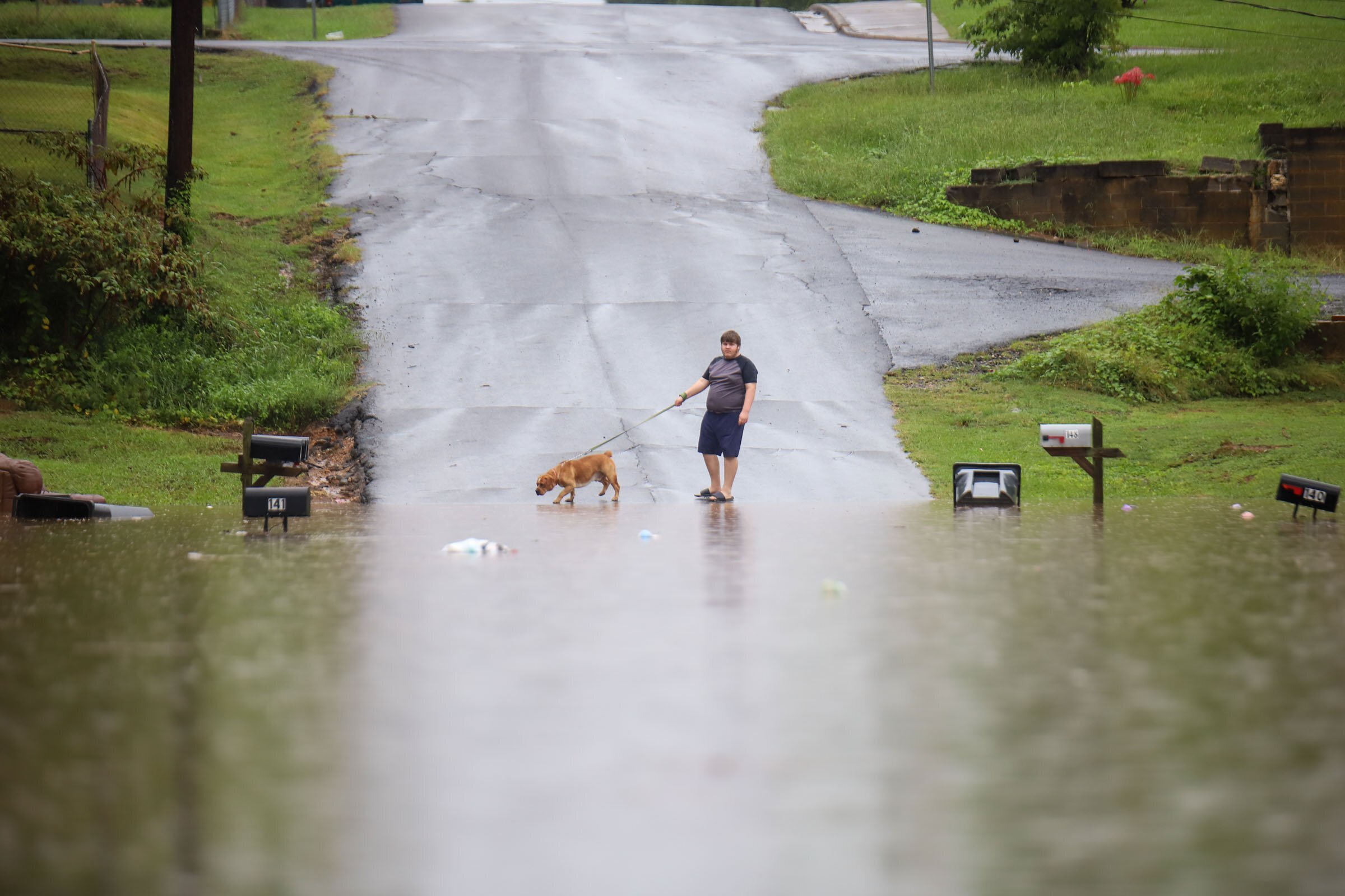
A young man walks his dog along a flooded Bittings Avenue on Sunday, Sept, 4, 2022, in Summerville, Ga. Thunderstorms and heavy rain pounded parts of northwest Georgia on Sunday, sparking flash flooding in some areas. (Olivia Ross/Chattanooga Times Free Press via AP)